
 Deutsch
 Svenska
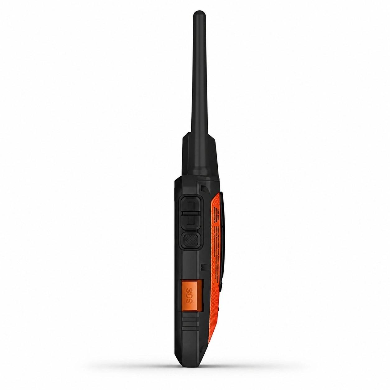
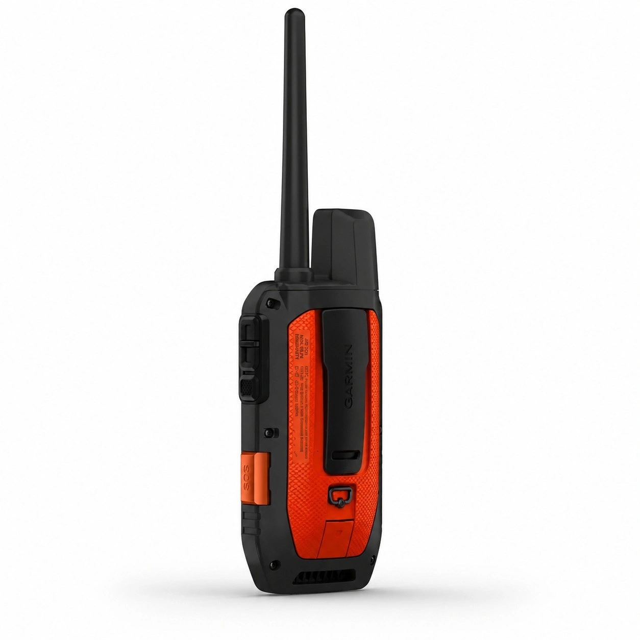
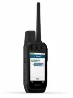
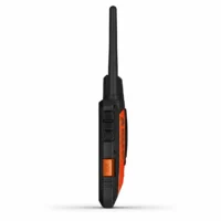
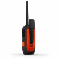
Garmin Alpha 300i Dog Tracking Handheld
719,00 € inc. VAT
In stock (can be backordered)
Garmin Alpha® 300i Dog Tracking Handheld
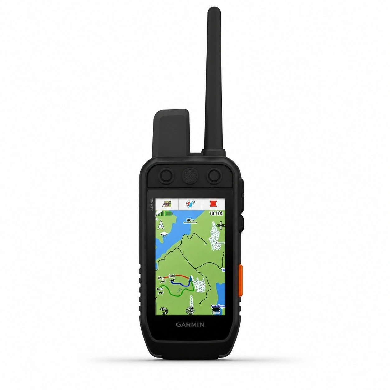
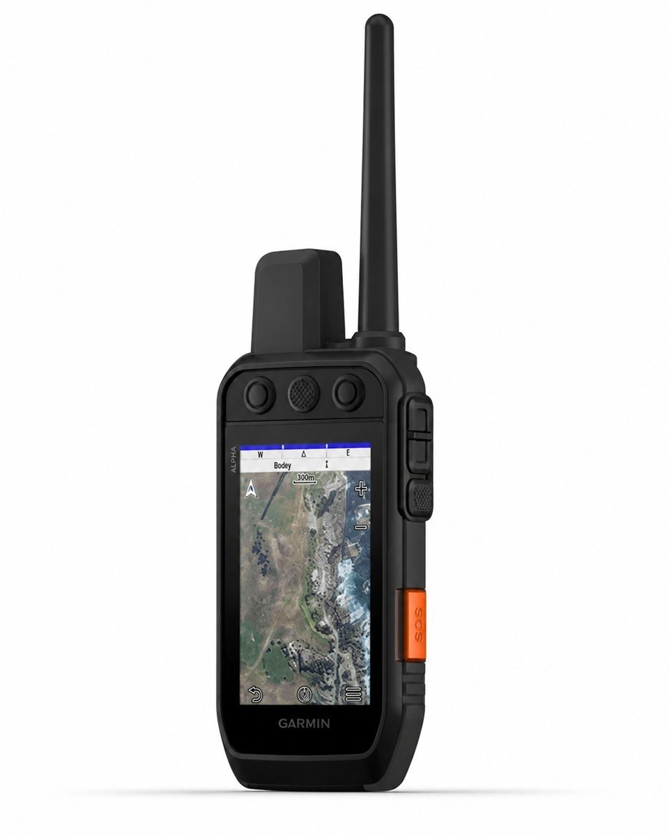
The Garmin Alpha® 300i is a dog tracking handheld designed for demanding hunting applications, combining precise GPS tracking, comprehensive mapping features and worldwide inReach® satellite communication in a single device. The large 3.5-inch touchscreen and physical buttons make the device easy to operate even while wearing gloves and in challenging weather conditions. The Alpha 300i is compatible with Garmin Alpha® T- and TT-series dog collars and is suitable for hunting, dog training and hiking.
Key Features
- Real-time dog tracking at distances of up to 14.5 kilometres.
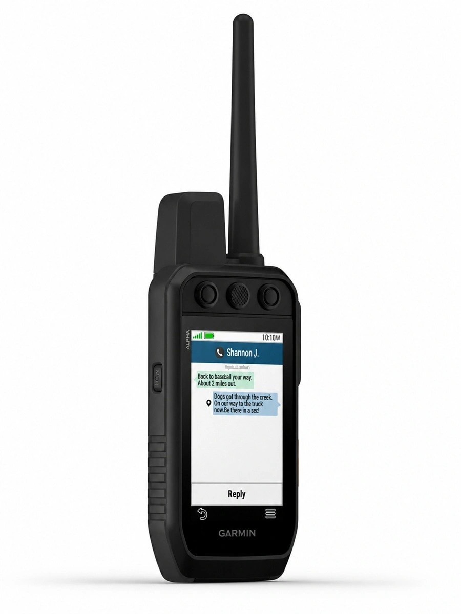
- Built-in inReach® satellite communication for two-way messaging, location sharing and SOS emergency alerts (active satellite subscription required).
- Large 3.5″ colour touchscreen complemented by physical buttons for quick operation.
- Preloaded TopoActive maps with support for additional maps.
- Ability to track multiple dogs simultaneously using compatible Garmin collars.
- GPS, GLONASS and Galileo satellite support for accurate positioning and navigation.
- Bluetooth®, Wi-Fi® and ANT+® connectivity for accessories and data transfer.
- Up to 55 hours of battery life on a single charge.
- Durable, IPX7-rated waterproof construction for demanding outdoor conditions.
Technical Specifications
- Display: 3.5″ colour TFT touchscreen.
- Display resolution: 282 × 470 pixels.
- Dimensions: 6.8 × 16.2 × 3.4 cm.
- Weight: 280 g (with standard battery and antenna).
- Memory: 16 GB.
- Battery: Rechargeable and replaceable lithium-ion battery.
- Battery life: Up to 55 hours (up to 50 hours with inReach functionality).
- Water rating: IPX7.
- Operating temperature: -20 to +60 °C.
- Interface: USB-C.
- Wireless connectivity: Bluetooth®, Wi-Fi®, ANT+®.
- Satellite systems: GPS, GLONASS, Galileo.
- Preloaded maps: TopoActive Europe.
- Dog tracking range: Up to 14.5 km (depending on the compatible collar used).
- inReach® features: two-way messaging, SOS emergency alerts and location sharing (satellite subscription required).
Package Contents
- Garmin Alpha® 300i handheld.
- Rechargeable lithium-ion battery.
- USB-C charging and data cable.
- Belt clip.
- Documentation.
How the Garmin Alpha® 300i Works in Practice
The Garmin Alpha® 300i is set up by pairing the handheld with a compatible Garmin Alpha® T- or TT-series dog collar. Once the collar is fitted to the dog and both devices have acquired a satellite signal, the dog’s location is displayed in real time on the handheld’s map screen. The user can monitor the dog’s movements, track, distance, direction and status information throughout the hunt.
The touchscreen or physical buttons can be used to switch between map views, check the compass, navigate to the dog’s location, mark waypoints and plan routes. If a TT-series collar with training functions is being used, training commands can be sent directly from the handheld.
The Alpha 300i’s built-in inReach® satellite communication also works in areas without mobile network coverage. With an active inReach subscription, users can send and receive text messages, share their location with family or friends and, when necessary, send an SOS emergency alert to Garmin’s international emergency response centre.
After the hunting day, the dog’s recorded tracks, the user’s route and other stored information can be reviewed, making it easier to analyse the dog’s performance and plan future hunting areas.
The Garmin Alpha® 300i comes with TopoActive Europe maps. These are sufficient for most hunters, and purchasing a separate map is generally not necessary. TopoActive maps include:
- Terrain features and contour lines.
- Forest roads and other roads.
- Trails (coverage varies by area).
- Bodies of water.
- Buildings.
- Place names.
- Address and routing information.
Is the Standard Map Sufficient for Hunting?
Yes. In Finland, many Garmin Alpha users rely on the included TopoActive Europe map. It is well suited for:
- Hunting.
- Hiking and trekking.
- Locating and tracking dogs in the field.
- For many users, additional maps provide little significant benefit.
When Is a More Detailed Map Worth Considering?
An additional map or mapping service may be useful if you want:
- More detailed aerial imagery for interpreting terrain.
- More frequently updated map data.
- Additional detail, such as smaller trails or forest compartments.
What Are the Running Costs of the Garmin Alpha 300i?
If you use the Garmin Alpha® 300i only for dog tracking and navigation, there are no mandatory monthly or annual fees. Additional costs apply only if you choose to use inReach® satellite communication or purchase the optional Outdoor Maps+ mapping subscription.
Only logged in customers who have purchased this product may leave a review.
Related products



Reviews
There are no reviews yet